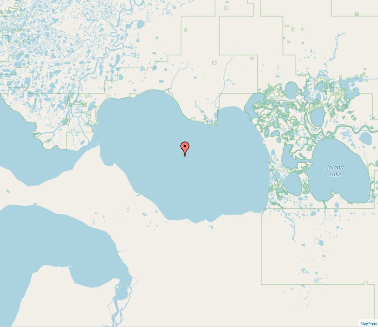
Devils Lake (North Dakota)
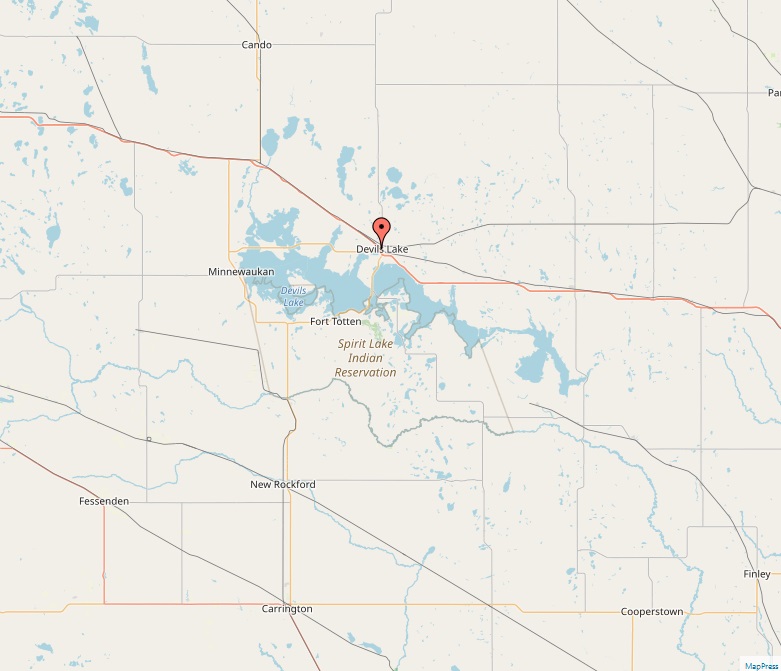
Devils Lake, nestled in the heart of North Dakota, is a significant natural water body known for its dynamic ecosystem and fluctuating water levels. As the largest natural lake in the state, it presents an intriguing case of environmental and hydrological interest. Geographical Setting Straddling Ramsey and Benson counties, Devils Lake occupies a unique position in northeastern North Dakota. The Spirit Lake Tribe is closely tied to the southern shores of the lake, having faced significant impact from flooding. The cities of Devils Lake and Minnewaukan, named after the lake, are key settlements in its vicinity. Hydrological Features An endorheic basin, Devils Lake captures approximately 86% of water runoff from its 3,800 square miles catchment area. Uniquely, the lake spills into Stump Lake at certain elevations and eventually into the…