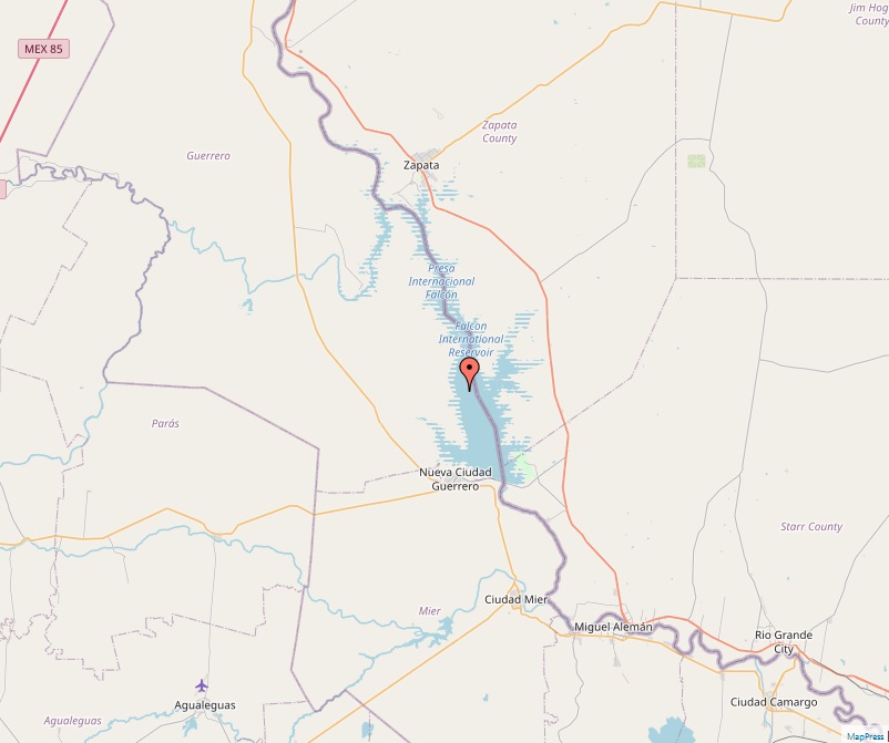
Falcon International Reservoir
Falcon International Reservoir, commonly known as Falcon Lake, is a significant reservoir located on the Rio Grande. Straddling the international border between the United States and Mexico, it occupies parts of Texas and Tamaulipas, offering a unique blend of natural beauty and bilateral cooperation. Geographical Location and Formation Falcon Lake lies 40 miles southeast of Laredo, Texas, and Nuevo Laredo, Tamaulipas. Its creation stemmed from the construction of the Falcon Dam, completed in 1953, with the primary purposes of water conservation, irrigation, flood control, and hydroelectricity generation. The dam and lake are managed by the United States and Mexico through the International Boundary and Water Commission. Dam and Reservoir Characteristics The Falcon Dam, a significant structure dedicated by Mexican President Adolfo Ruiz Cortines and U.S. President Dwight D. Eisenhower, has…